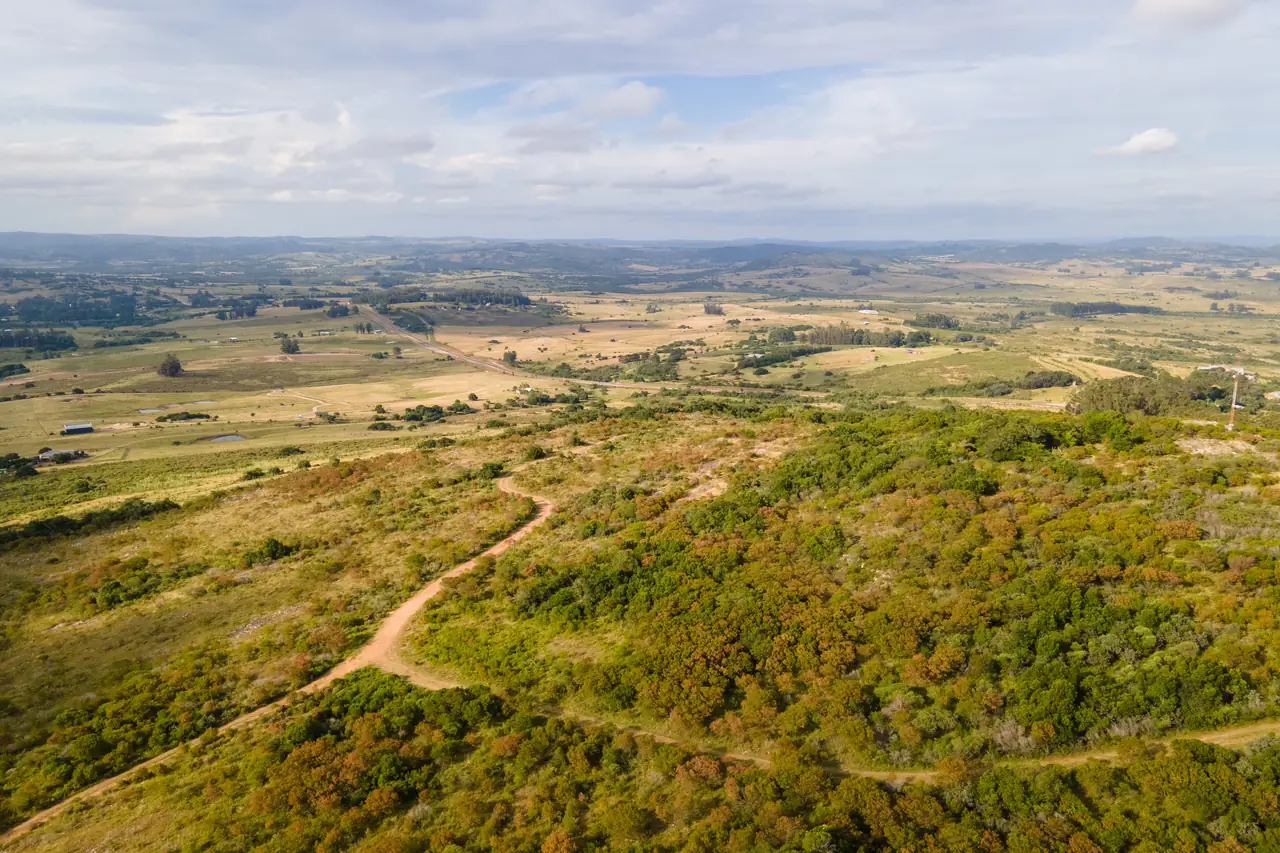
Land plots at Viña Edén
Land to build your home among hills, woods and vineyards, within the winery estate, near Pueblo Edén (Maldonado).
A place of your own at Viña Edén
The plots are parcels of the Viña Edén estate master plan: land among hills, native woods and vineyards, steps from the winery and its restaurant, to build your home.
Each plot has its own details: the area per the master plan schedule, the altitude, the slope and which way it faces. Explore them on the 3D map or in the list below.
- 33 plots
- open to inquiries, per the estate's 2026 master plan
- Details for each plot
- area per the master plan, altitude, slope and which way it faces
- Availability
- and terms, on WhatsApp with the winery team
- Estate visits
- arranged with Viña Edén, to see the plots in person
Explore the master plan
Rotate the estate, zoom in and tap a plot to see its details. It opens full screen.
From inquiry to reservation
- 01
Inquiry
Message us on WhatsApp or through the form: we'll tell you which plots are available and on what terms.
- 02
Visit
We arrange a tour of the estate so you can see the plots in person with the Viña Edén team.
- 03
Reservation
Once you've chosen your plot, we'll guide you through the reservation and the next steps.
From the air
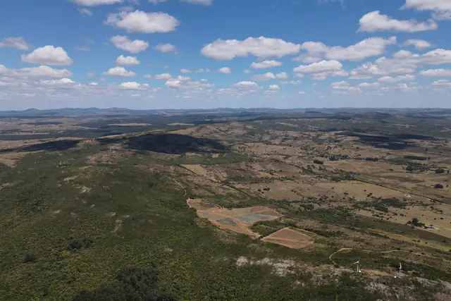
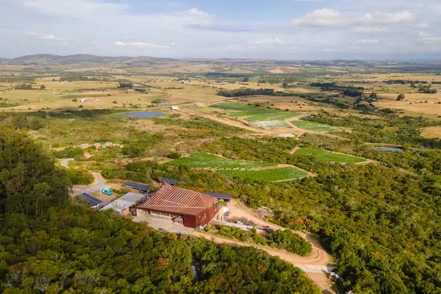
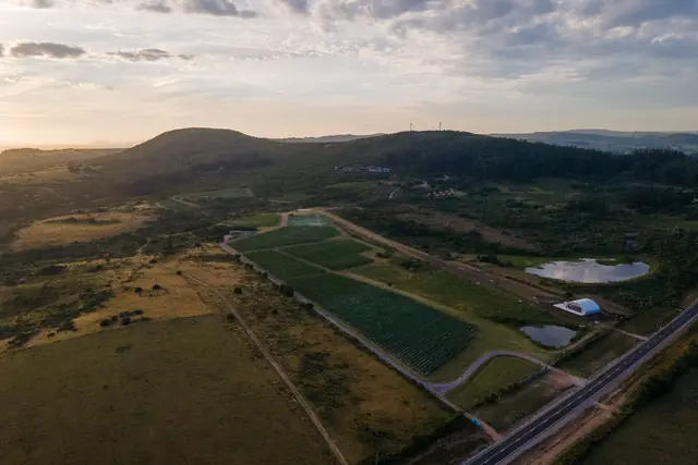
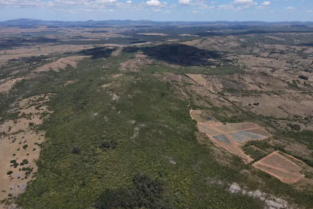
Drone photos from December 2025 and January 2026.
Estate map
Tap a plot on the map or in the list.
Plot list
| Lot | Area | Elevation | Facing | Availability |
|---|---|---|---|---|
| 3.02 haapprox.* | 70–97 m | East | Ask us | |
| 3.06 haapprox.* | 73–102 m | East | Ask us | |
| 3.27 haapprox.* | 65–83 m | South | Ask us | |
| 3.32 haapprox.* | 62–75 m | East | Ask us | |
| 12.22 ha | 79–122 m | Southeast | Ask us | |
| 5.09 ha | 114–182 m | East | Ask us | |
| 3.00 haapprox.* | 151–190 m | Northwest | Ask us | |
| 3.00 haapprox.* | 144–188 m | Northwest | Ask us | |
| 3.06 haapprox.* | 140–182 m | Northwest | Ask us | |
| 3.18 haapprox.* | 138–178 m | Northwest | Ask us | |
| 3.45 haapprox.* | 138–174 m | North | Ask us | |
| 3.68 haapprox.* | 149–177 m | North | Ask us | |
| 3.12 haapprox.* | 154–193 m | North | Ask us | |
| — | — | — | Not for sale | |
| 5.94 ha | 112–212 m | Northeast | Ask us | |
| — | — | — | Not for sale | |
| 5.00 ha | 170–188 m | North | Ask us | |
| 5.09 ha | 171–228 m | Northeast | Ask us | |
| 5.06 ha | 187–246 m | North | Ask us | |
| 5.12 ha | 196–237 m | Northwest | Ask us | |
| 5.34 ha | 154–205 m | Northwest | Ask us | |
| 5.22 ha | 165–210 m | South | Ask us | |
| 5.11 ha | 149–199 m | North | Ask us | |
| 5.13 ha | 146–194 m | Northeast | Ask us | |
| 5.11 ha | 172–209 m | North | Ask us | |
| 5.15 ha | 155–210 m | Southwest | Ask us | |
| 5.06 ha | 148–209 m | South | Ask us | |
| 5.02 ha | 158–210 m | South | Ask us | |
| 5.01 ha | 174–213 m | South | Ask us | |
| 5.33 ha | 157–199 m | North | Ask us | |
| 5.10 ha | 157–184 m | Northeast | Ask us | |
| 5.08 ha | 127–167 m | Northeast | Ask us | |
| 5.09 ha | 119–162 m | North | Ask us | |
| 6.15 ha | 120–162 m | North | Ask us | |
| 6.14 ha | 132–165 m | Northwest | Ask us |
* Planned plot (subject to approval)
Interested in a plot?
Ask about availability and we'll arrange a visit to the estate.
Notices and sources
Computer-generated illustrative view: not a photograph or a survey plan. Locations, boundaries, roads and buildings are approximate; the official survey plan prevails for boundaries and areas. Internal roads follow the master plan and some sections are not open yet. The hotel is a project: it has not been built and may change. The winery, the hangar and the chalets are shown; other existing buildings are not. Areas: area schedule of the January 2026 master plan. All plots are subject to rights of way and water and power line easements for vineyard irrigation. Availability and prices: ask us.
Sources: terrain and orthophoto: «Ortoimagen y modelo digital del terreno de cobertura nacional» (2017-2018 survey), IDE Uruguay; parcels: rural parcel map, Dirección Nacional de Catastro; both under the Uruguay Open Data License (Licencia de Datos Abiertos – Uruguay), modified (illustrative texture, plots per the 2026 master plan). Vegetation: tree crowns detected in the 2017-2018 orthophoto. Vineyards, airstrip and roads: surveyed on 2026 satellite imagery; some road sections are planned (master plan). Surroundings (up to ~36 km): terrain from IDE Uruguay and Copernicus DEM GLO-30; color from 2025-26 Sentinel-2 imagery, classified and repainted. «Contains modified Copernicus Sentinel data (2025-2026)» · «produced using Copernicus WorldDEM-30 © DLR e.V. 2010-2014 and © Airbus Defence and Space GmbH 2014-2018 provided under COPERNICUS by the European Union and ESA; all rights reserved» · «The organisations in charge of the Copernicus programme by law or by delegation do not incur any liability for any use of the Copernicus WorldDEM-30».